
neoserver | Open source geospatial server: OGC API, WMS, WFS
Developer Tools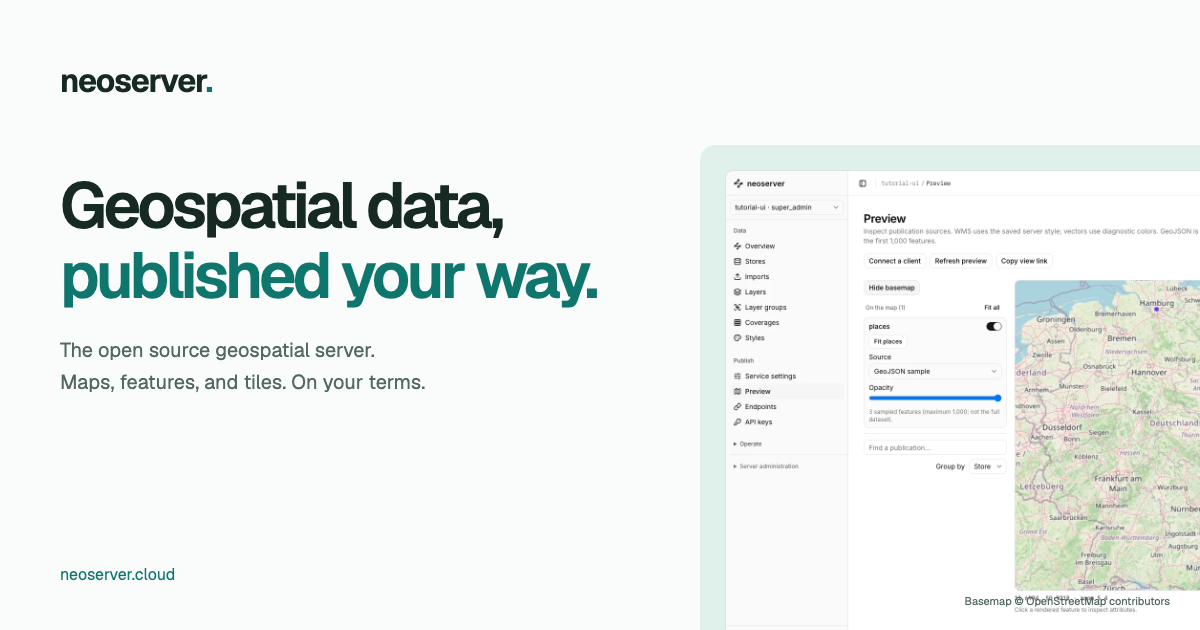
What is neoserver | Open source geospatial server: OGC API, WMS, WFS?
Open source geospatial server. Publish PostGIS, DuckDB, GeoParquet, and raster data as OGC API, WMS, WFS, WCS, and vector tiles from a web console.
neoserver | Open source geospatial server: OGC API, WMS, WFS is included in mfree's Developer Tools directory. This page combines the website's public description with mfree's directory details so visitors can understand what the resource is about, where it belongs, and where to find the official site.
Best for
neoserver | Open source geospatial server: OGC API, WMS, WFS may be most relevant for visitors exploring developer tools resources connected with developer-tools, open, source, geospatial. The tags shown here come from the public information stored for this listing, not from a hands-on product review.
Main features & topics
These are the main topics currently associated with this listing in mfree.
Key details about neoserver | Open source geospatial server: OGC API, WMS, WFS
These details come from the information currently stored in mfree for this listing. Features, pricing and availability can change, so the official website remains the final source.
- Categoryneoserver | Open source geospatial server: OGC API, WMS, WFS is listed in Developer Tools.
- Topicsdeveloper-tools, open, source, geospatial, server, ogc
- PricingCheck website
- Languageen
Explore more Developer Tools websites
This listing may be useful to people comparing developer tools resources related to developer-tools, open, source, geospatial. Use the preview and listing details as a quick orientation before opening the official website.
Browse the full Developer Tools category or check the alternatives below.


